Weather Alert in Texas
Flood Warning issued July 5 at 8:23AM CDT until July 6 at 10:39PM CDT by NWS San Angelo TX
AREAS AFFECTED: San Saba, TX
DESCRIPTION: ...The Flood Warning continues for the following rivers in Texas... San Saba River At San Saba affecting San Saba County. For the San Saba River...including San Saba...Moderate flooding is forecast. * WHAT...Moderate flooding is occurring and moderate flooding is forecast. * WHERE...San Saba River at San Saba. * WHEN...Until late tomorrow evening. * IMPACTS...At 30.5 feet, Moderate flooding will occur. Roads and low water crossings will be flooded. * ADDITIONAL DETAILS... - At 8:00 AM CDT Saturday the stage was 30.5 feet. - Bankfull stage is 20.0 feet. - Recent Activity...The maximum river stage in the 24 hours ending at 8:00 AM CDT Saturday was 34.2 feet. - Forecast...The river is expected to fall below flood stage late tomorrow morning and continue falling to 4.1 feet Thursday morning. - Flood stage is 24.0 feet. - Flood History...This crest compares to a previous crest of 31.0 feet on 09/13/1952. - http://www.weather.gov/safety/flood
INSTRUCTION: Motorists should not attempt to drive around barricades or drive cars through flooded areas. Stay tuned to further developments by listening to your local radio, television, or NOAA Weather Radio for further information. Turn around, don't drown when encountering flooded roads. Most flood deaths occur in vehicles. Please report observed flooding to local emergency services or law enforcement and request they pass this information to the National Weather Service when you can do so safely. Additional information is available at www.weather.gov. The next statement will be issued this evening at 830 PM CDT.
Want more detail? Get the Complete 7 Day and Night Detailed Forecast!
Current U.S. National Radar--Current
The Current National Weather Radar is shown below with a UTC Time (subtract 5 hours from UTC to get Eastern Time).

National Weather Forecast--Current
The Current National Weather Forecast and National Weather Map are shown below.

National Weather Forecast for Tomorrow
Tomorrow National Weather Forecast and Tomorrow National Weather Map are show below.

North America Water Vapor (Moisture)
This map shows recent moisture content over North America. Bright and colored areas show high moisture (ie, clouds); brown indicates very little moisture present; black indicates no moisture.

Weather Topic: What is Drizzle?
Home - Education - Precipitation - Drizzle
 Next Topic: Evaporation
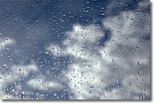
Drizzle is precipitation in the form of water droplets which are
smaller than raindrops.
Drizzle is characterized by fine, gently falling droplets and typically does not
impact human habitation in a negative way. The exception to this is freezing drizzle,
a condition where drizzle freezes immediately upon reaching earth's surface.
Freezing drizzle is still less dangerous than freezing rain, but can
potentially result in hazardous road conditions.
Next Topic: Evaporation
Weather Topic: What is Fog?
Home - Education - Cloud Types - Fog
 Next Topic: Fractus Clouds
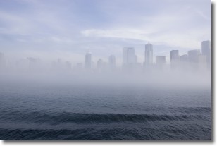
Fog is technically a type of stratus cloud, which lies along the
ground and obscures visibility.
It is usually created when humidity in the air condenses into tiny water droplets.
Because of this, some places are more prone to foggy weather, such as regions
close to a body of water.
Fog is similar to mist; both are the appearance of water droplets suspended in
the air, but fog is the term applied to the condition when visibility is less than 1 km.
Next Topic: Fractus Clouds
Current conditions powered by WeatherAPI.com


